Add location context to your enterprise data
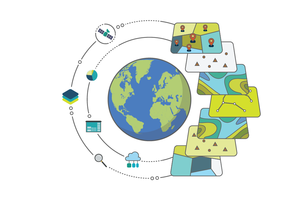
Much of your data can be referenced through location. Leveraging GIS allows you to visualise data geographically and improves decision-making.

Layer data in your GIS relating to financial transactions, work, people, and assets from your ERP, work and asset management system, CRM, and other enterprise systems.

What is this automation used for?
Inventory Management
Make inventory visible across your organisation to reduce field service costs
Work Order Management
Digitise your work process to optimise work performance and extend the life of your assets
Financial & Compliance Reporting
Capture productivity and costs to optimise your financial performance
Master Data Management
Get a clear picture of your business data to make informed decisions
Customer & Citizen Portals
Organise your systems around key steps in your consumer interactions
Service Request Automation
Keep customers in the loop to reduce complaints and escalation
IIoT (Industrial Internet of Things)
Automate work orders from sensor input to reduce downtime
Cloud-Based Services
Integration pulls data from your cloud-based app to power your enterprise workflows
Where is this automation used?
Manufacturing
List some types of manufacturing organisations
Heavy Industry
Oil and gas production facilities, mining facilities
Infrastructure
Roads, pipes, utilities, rail ports, airports
Local Government
Cities, towns, districts, counties
Healthcare
Research centres, hospitals, long-term care centres
Real Property
Commercial, industrial
Education
School districts, post-secondary institutions
Aviation
Airlines, air navigation services, drone operators
Other
Enterprise-level organisations
Need more information?
Download our fact sheet for this automation.
.png?width=750&height=458&name=GIS%20Sync%20Automation%20(White%20BG).png)